

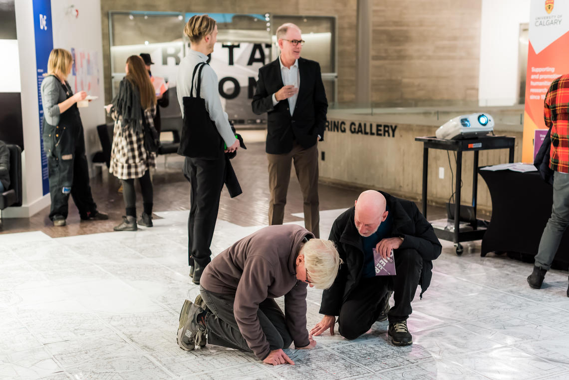
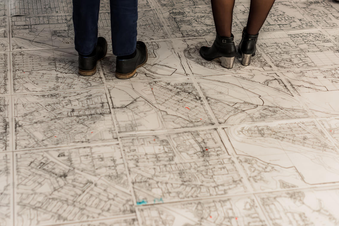
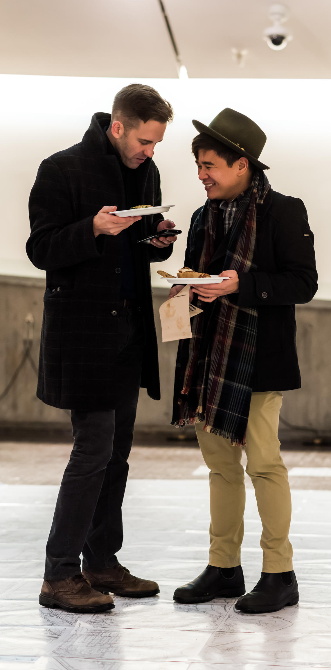
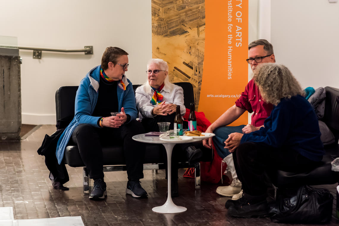
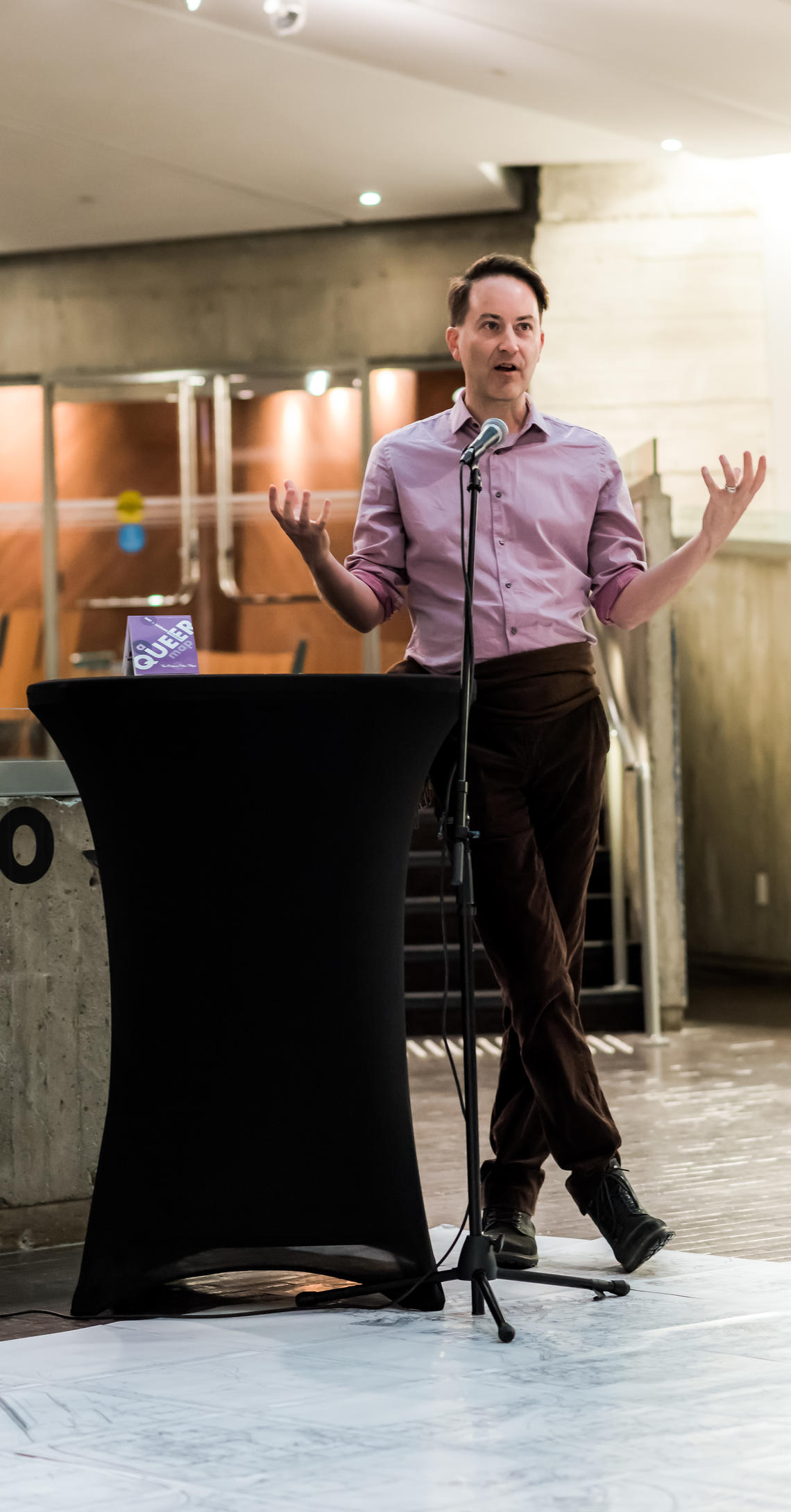
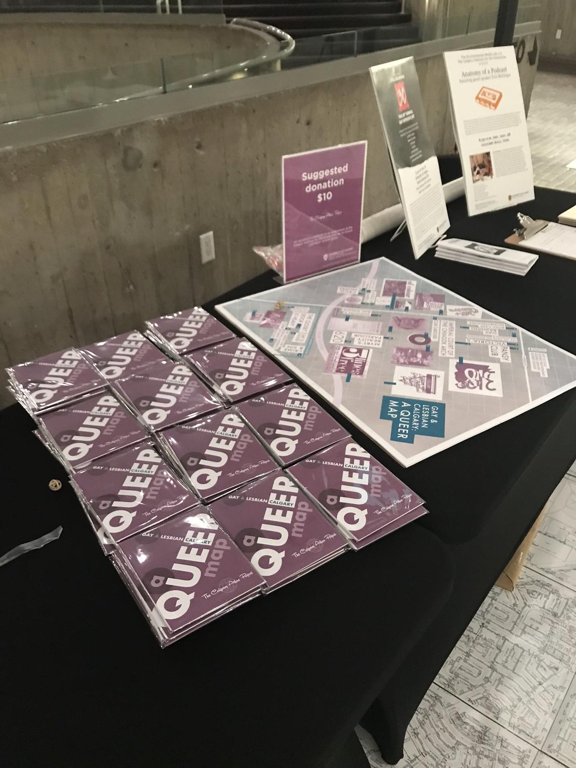
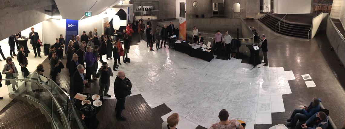
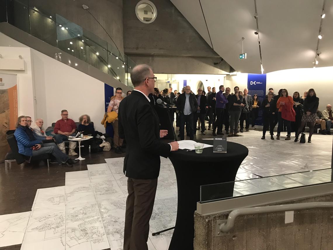
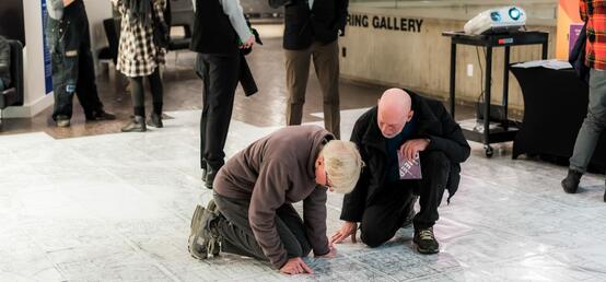
A Queer Map: A Guide to the LGBTQ+ History of Calgary
A Queer Map is a retelling of an old story. Lovingly curated, the history of Calgary’s LGBTQ+ community is relayed on the footprint of our city. From Club Carousel through to modern ephemera, this tour through history covers a broad swath of Calgary’s under-documented LGBTQ+ community hubs and sources of resistance in a sometimes-inhospitable Sandstone city.
Drawing on the historical research of the Calgary Gay History Project of Kevin Allen and Mark Clintberg, this map explores the places and faces of Calgary’s LGBTQ+ history, its scenes, bars, community, and organisations, and the efforts made by LGBTQ+ activists to raise awareness through initiatives like Blue Jeans Day. The histories told are uniquely Calgarian, but also paradigmatic of many similar cities across western Canada.
The strong sense of community, resistance, collaboration and pride which emerges from this trip down memory lane, continues to characterize Calgary’s LGBTQ+ community to this day. To find a local distributor near you click the link below or email a request to cih@ucalgary.ca.
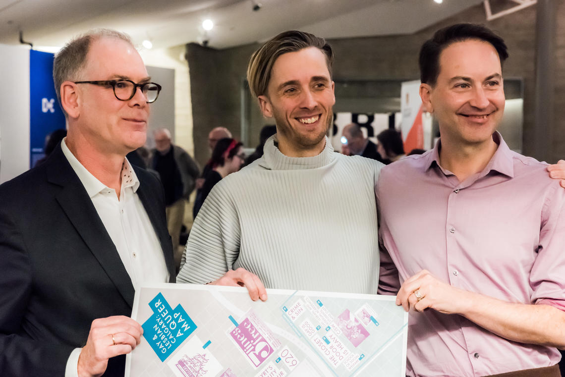
Contributors
Researcher: Kevin Allen
Artist: August Klintberg
Design collaborator: Jeff Kulak
Graphic design: Glenn Mielke

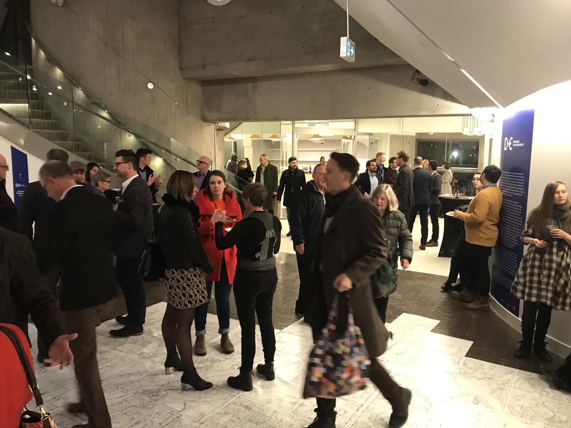
A Queer Map in the Media
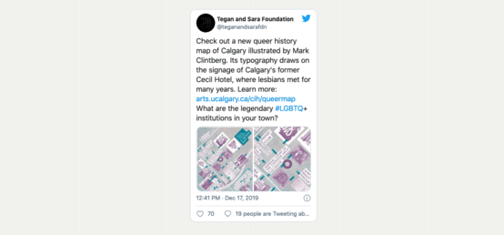
In the News Jim Ellis, Calgary Institute for the Humanities | The Sprawl
The forgotten Calgary, now mapped
In the News James Ellis, Calgary Institute for the Humanities, in The Gauntlet
Calgary Atlas Project launches A Queer Map
Explore the Calgary Atlas project
Calgary Atlas Project Map Distributors
To pick up a printed version of a Calgary Atlas Project map please visit one of these local distributors.
Phone: (403) 930-2490
Website: eskerfoundation.com/shop/
Phone: (403) 407-1222
Website: www.goatshop.ca
Phone: (403) 265-1033
Website: shelflifebooks.ca
Phone: (403) 283-6655
Website: pageskensington.com
Phone: (403) 244-6333
Website: lougheedhouse.com